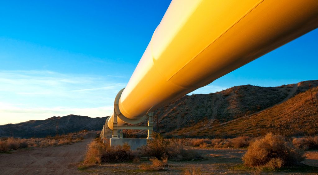
Oil and gas pipeline
Current Location:Home > Applications
Industry Status
Oil and gas pipelines, including crude oil pipelines, finished product pipelines and natural gas pipelines, have the characteristics of large geographical spans, large spans of construction years, and frequent safety accidents, and the total mileage of pipelines continues to increase. The need to strengthen pipeline safety patrol and management is even greater urgent. Oil and gas pipelines are generally distributed in a linear shape, and what needs to be paid attention to is the changes in the pipeline itself and the very limited area around it. Because the pipeline as a whole is very huge. Conventional means, no matter the naked eye or the sensor system, are difficult to directly observe comprehensively and in detail, so macroscopic monitoring, especially remote sensing means, is an effective means of monitoring. Commonly used remote sensing methods mainly include satellites, manned aircraft, and unmanned aerial vehicles. Among them, the satellite imaging resolution is low, and at the same time, the slewing period is usually long, so it cannot cover the whole day for monitoring, and it is also difficult to carry out emergency monitoring for sudden situations. The risk of manned flight is high, the cost of inspection is high, and the operation process is cumbersome, so it is not easy to apply to real-time monitoring. Now the use of drone inspections has gradually become an application trend in the oil and gas industry at home and abroad.
Market size
The oil and gas pipeline area has the characteristics of large demand, long distance, wide range and narrow width. At the same time, these areas are often in complex geographical environments. Such as after a large area of reservoir lakes and mountains and so on. Especially when passing through virgin forest edge areas, high altitude, and snow-covered areas, the mountains are high and the slopes are steep, the transportation and communication are underdeveloped, and there may be geological disasters such as landslides and mudslides along the route. Regular inspection personnel in these areas are often difficult to reach, and there are certain flight safety problems in manned and aircraft monitoring. UAVs are suitable for the above fields due to their flexible maneuverability, strong environmental adaptability, and suitability for current regional inspections.
Routine inspection
Regular inspection tasks are formulated according to pipeline operation conditions and inspection requirements, and fixed-wing drones are used to conduct rapid and large-scale surveys. Optional payloads include visible light cameras, visible light cameras, etc.
Emergency monitoring
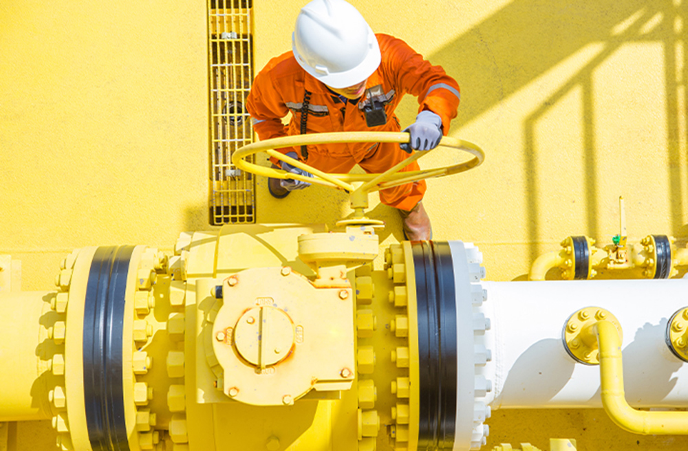
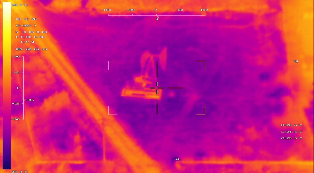
Emergency monitoring mainly includes fault inspection and post-disaster inspection. Fault inspection refers to determining the key inspection sections and locations according to the fault information after a pipeline failure. Post-disaster inspection refers to the determination of key inspection sections and locations according to the location of the accident after an accident. Usually, unmanned multi-rotors are used to conduct detailed inspections of specific areas. Optional loads include visible light cameras, visible light cameras, infrared thermal imaging cameras, etc. At the same time, laser spectrum monitoring equipment for monitoring natural gas leakage can be selected for natural gas pipelines.
Solution
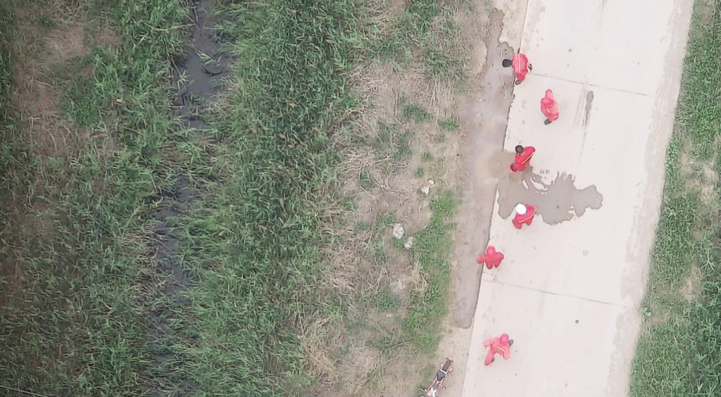
Oil Stealing and Oil Spill Inspection
Through oil stealing and oil spill inspection drones equipped with visible light and infrared pods, it can monitor the safety status of pipelines 24 hours a day and night, monitor whether there are holes in the pipeline for oil theft, monitor suspicious personnel and vehicles, detect and track oil thieves, And carry out back transmission to the inspection and monitoring center.
Oil pipeline planning
The oil pipeline inspection drone is equipped with aerial survey cameras, oblique photography cameras, and laser radars, etc., to perform geographic surveying and scene modeling of oil fields, generate oil field orthophoto maps and three-dimensional model maps, and conduct new oil pumping units and oil pipelines. Carry out digital planning.
Natural gas pipeline inspection
The natural gas pipeline inspection drone is equipped with visible light pods and surveying and mapping equipment to monitor whether there is illegal construction in the pipeline safety protection zone, and to monitor the changes in the topography and landforms on the left and right sides of the oil pipeline.